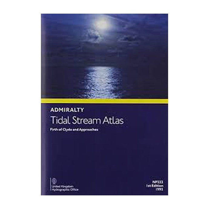
Tidal Stream Atlas Firth of Clyde and Approaches (Admiralty NP222)
We despatch all orders within 24 hours. Orders placed weekdays before 4pm will be shipped the same day.
Call us and speak to an expert on 0191 4297309 - (Mon - Fri / 9am - 5pm).
Pickup currently unavailable at Marine Chandlery: North Shields

Tidal Stream Atlas Firth of Clyde and Approaches (Admiralty NP222)
Marine Chandlery: North Shields
Unit G4 Narvik Way
Tyne Tunnel Trading Estate
North Shields NE29 7XJ
United Kingdom

Product Description
Tidal Stream Atlas Firth of Clyde and Approaches (Admiralty NP222)
The Tidal Stream Atlas Firth of Clyde and Approaches (Admiralty NP222) is an indispensable tool for mariners navigating the Firth of Clyde and its surrounding waters. This meticulously compiled atlas provides detailed and accurate information on tidal streams, facilitating safe and efficient maritime navigation.
Published by the United Kingdom Hydrographic Office (UKHO), the NP222 atlas features comprehensive diagrams that illustrate the direction and strength of tidal currents at hourly intervals. Covering the dynamic waterways of the Firth of Clyde, this atlas is an essential resource for planning passages and avoiding navigational hazards.
Key features of the Tidal Stream Atlas include:
- Detailed tidal stream charts for each hour of the tidal cycle.
- High-quality, easy-to-read diagrams and tables.
- Coverage of key areas including the Clyde estuary, Loch Long, and the approaches to the Firth of Clyde.
- Information on both spring and neap tidal conditions.
- Guidance on the impact of wind and weather on tidal streams.
Whether you are a professional mariner, a recreational sailor, or a maritime enthusiast, the Admiralty NP222 is an invaluable resource for navigating one of Scotland's most significant maritime regions. This atlas provides reliable data essential for ensuring safe navigation, whether you are undertaking a commercial voyage, a leisure cruise, or a competitive sailing event.
Trust the Admiralty Tidal Stream Atlas for precise, up-to-date tidal information, and navigate with confidence in the Firth of Clyde and its approaches.
Delivery
Tidal Stream Atlas Firth of Clyde and Approaches (Admiralty NP222)
The Tidal Stream Atlas Firth of Clyde and Approaches (Admiralty NP222) is an indispensable tool for mariners navigating the Firth of Clyde and its surrounding waters. This meticulously compiled atlas provides detailed and accurate information on tidal streams, facilitating safe and efficient maritime navigation.
Published by the United Kingdom Hydrographic Office (UKHO), the NP222 atlas features comprehensive diagrams that illustrate the direction and strength of tidal currents at hourly intervals. Covering the dynamic waterways of the Firth of Clyde, this atlas is an essential resource for planning passages and avoiding navigational hazards.
Key features of the Tidal Stream Atlas include:
- Detailed tidal stream charts for each hour of the tidal cycle.
- High-quality, easy-to-read diagrams and tables.
- Coverage of key areas including the Clyde estuary, Loch Long, and the approaches to the Firth of Clyde.
- Information on both spring and neap tidal conditions.
- Guidance on the impact of wind and weather on tidal streams.
Whether you are a professional mariner, a recreational sailor, or a maritime enthusiast, the Admiralty NP222 is an invaluable resource for navigating one of Scotland's most significant maritime regions. This atlas provides reliable data essential for ensuring safe navigation, whether you are undertaking a commercial voyage, a leisure cruise, or a competitive sailing event.
Trust the Admiralty Tidal Stream Atlas for precise, up-to-date tidal information, and navigate with confidence in the Firth of Clyde and its approaches.


